


Battle Lake Voting District, Otter Tail County, Minnesota
About
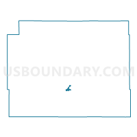
Outline

Summary
| Unique Area Identifier | 603552 |
| Name | Battle Lake Voting District |
| County | Otter Tail County |
| State | Minnesota |
| Area (square miles) | 1.47 |
| Land Area (square miles) | 1.47 |
| Water Area (square miles) | 0.00 |
| % of Land Area | 99.76 |
| % of Water Area | 0.24 |
| Latitude of the Internal Point | 46.28612400 |
| Longtitude of the Internal Point | -95.72166420 |
Maps


Graphs
Select a template below for downloading or customizing gragh for Battle Lake Voting District, Otter Tail County, Minnesota


Neighbors
Neighoring Voting District (by Name) Neighboring Voting District on the Map
- Clitherall Twp. Voting District, Otter Tail County, MN
- Everts Twp. Voting District, Otter Tail County, MN
Top 10 Neighboring County Subdivision (by Population) Neighboring County Subdivision on the Map
- Battle Lake city, Otter Tail County, MN (875)
- Everts township, Otter Tail County, MN (658)
- Clitherall township, Otter Tail County, MN (455)